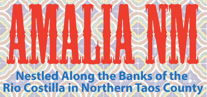
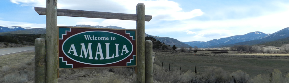
 The community of Amalia is nestled along the banks of the Rio Costilla in northern Taos County, still in New Mexico but just a few miles south of the Colorado state line. The valley is not very wide, perhaps only a half mile at its widest part. There are mountains to the north and south. Situated at over 8,000 feet elevation the climate is glorious in the summer and fall.
Never too hot, but just right during the day, with cool mountain evenings. Winter can be cold but that cold brings snow with ample opportunity to enjoy winter sports. Spring is iffy as in much of northern New Mexico. There can be beautiful days and then the next day there might be a spring snowstorm. Never fear, the snow will be gone the next day if not the same afternoon.
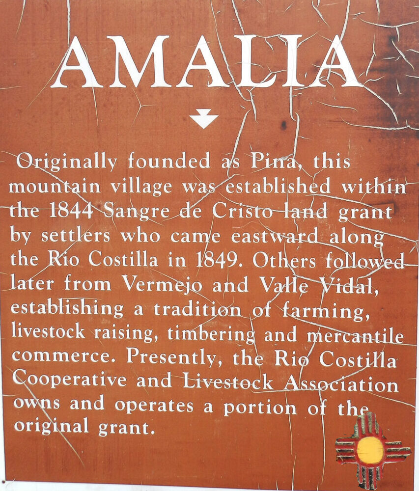
Find Us: New Mexico Highway 196 is the main road through much of Amalia. This road turns into Taos County Road B-060 at the turn off to the Endless Blue Ski Area. After about four miles, this road turns into Forest Road 1950. This road follows the Rio Costilla for about eleven miles, passing through a magnificent box canyon, opening up to a mountain valley in Rio Costilla Park, and entering the Valle Vidal. Eventually, you’d end up just east of Cimarron if you drove to the end of the road, about 55 miles. Ventero Road is another major byway in Amalia. It goes north from NM 196 by the cemetery and goes into Colorado, passing Sanchez Reservoir and eventually winding up in San Luis.
 Please visit the Amalia Community Association FaceBook page.